Bio
Dr Antje Barbara Metzler is a Research Associate with the Science of Cities and Regions group at the Alan Turing Institute. As part of her research, she is leveraging deep learning models and satellite imagery to study urban areas. During her PhD from Imperial College London, she used unsupervised/self-supervised deep learning techniques together with high-resolutions satellite images to classify urban areas in Sub-Saharan Africa.
Barbara’s research interests lie at the intersection of remote sensing and computer vision, particularly in their application to urban environments. More recently, her work involves working with (geospatial) foundation models and Sentinel-2 image data.
Projects

DemoLand
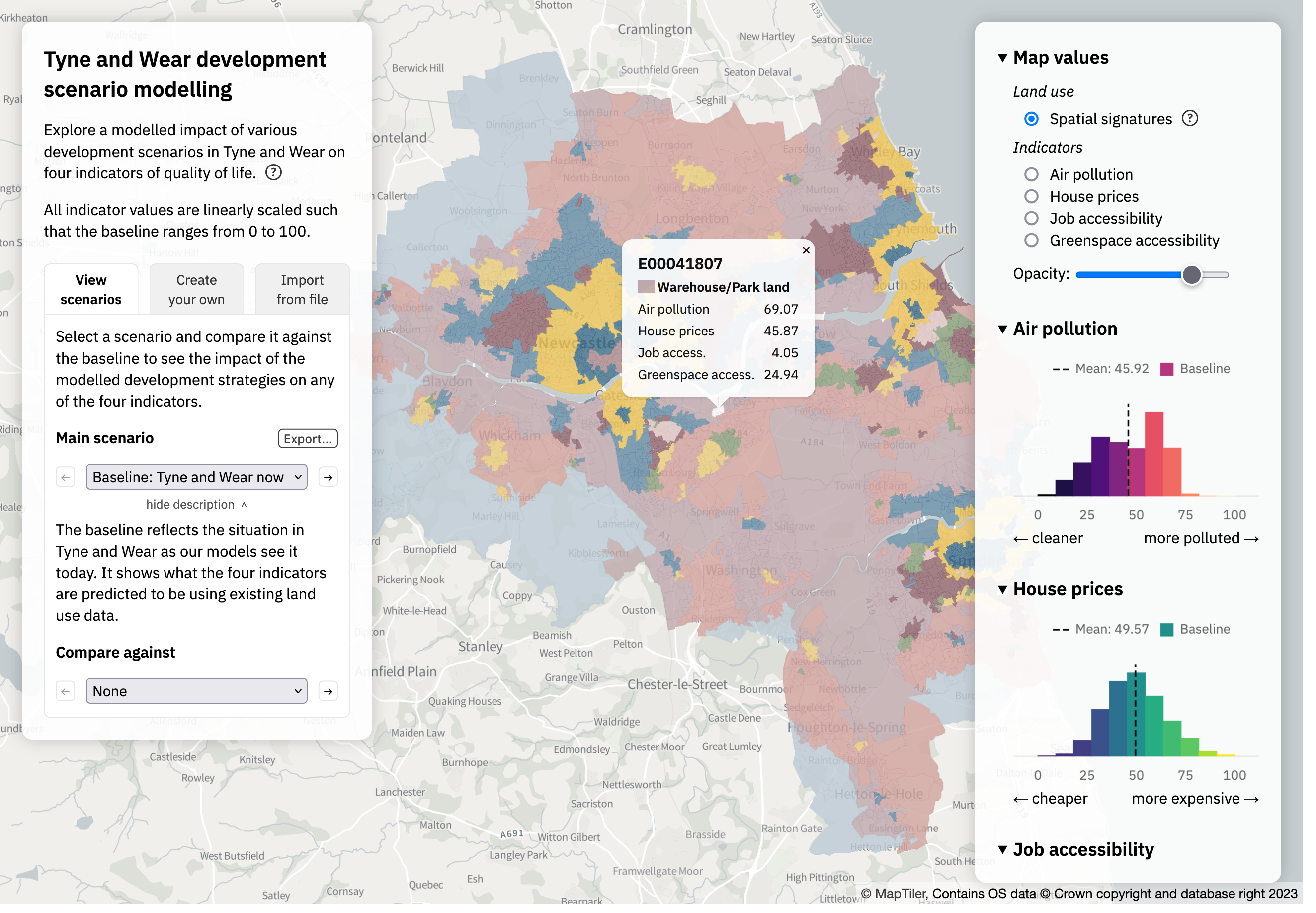
Spatial modelling for land management predicting the impact of large-scale planning and land use changes on the quality of life.